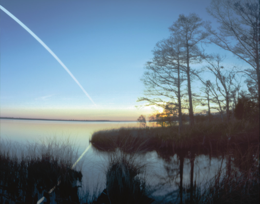
ROANOKE ISLAND: Just over the old bridge, on the mainland is a small community called Mashoes. There is a legend that Mashoes is named after a Frenchman, Peter Mashieux, who shipwrecked there around 1585. He barely made it to shore, carrying his wife and young child, and then passed out. When he awoke, both were dead. He never left the area, and was found dead 20 years later, sitting against a tree. There are only a few houses in Mashoes and my wild guess would put the population at around 30 people. None are named Mashieux or Mashoes.
Near Mashoes is a boat ramp. I’ve gone kayaking from this boat ramp and have been considering this location for a moon photo for some time. The land near the boat ramp faces west, across East Lake. I scouted out the area and found an interesting little inlet nearby, with cypress roots and tall grass. That was my scene. I returned on Tuesday evening, May 11, to set out one of my moon pots (pinhole camera).

Mashoes Boat Ramp
Timeline
2006-4-11:
- Sunset 7:33 p.m.
- End civil twilight 7:59 p.m.
- Open camera 7:46 p.m.
- Moonrise 5:53 p.m.
2006-4-12:
- Moonset 5:59 a.m.
- Begin civil twilight 6:08 a.m.
- Close camera 6:10 a.m.
- Sunrise 6:34 a.m.
Phase of the Moon on 12 April: waxing gibbous with 99% of the Moon’s
visible disk illuminated.
Moonset at 270° West.